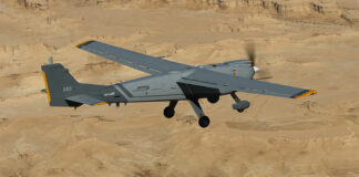
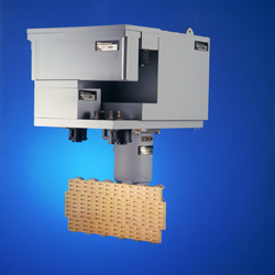
 Packed in an autonomous, compact package, EL/M-2055 tactical airborne recce system, provides Synthetic Aperture Radar (SAR) or Moving Target Indication (MTI) functions, effectively and rapidly covering wide areas of ground. The UAV payload includes the radar sensor and integral signal processor which processes the raw radar signals to create photographic quality images of the scanned area, operating under all weather and visibility conditions including clouds, heavy dust, fog, smog and moderate rain, day and night. These pictures are sent with metadata, via data-link to the Ground Extploitation Segment (GES) where image intelligence (IMINT) interpretation is performed.
SAR provides an effective, long range, wide area reconnaissance means offering high resolution imaging and flexible area geometry. SAR images are usually delivering a “flat” view of the area, even at very long distances. The mission planning and control enables real-time management of the mission and on-line re-tasking during the mission. The SAR generally operates in three distinctive operating modes – STRIP, SPOT and GMTI.
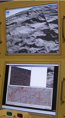 STRIP mode enables rapid coverage and mapping of a large area from a distance from few tens of kilometers to over 100km. The area coverage rate depends on the resolution which determines the level of details required for interpretation and target detection. Usually, STRIP mode resolution is set at 3 to 1 meter level, considered as sufficient for target detection and overall assessment of an entire region. SPOT mode is equivalent to the narrow field of view of an imaging sensor. It offers detailed examination of a designated area of interest, at “sub meter” resolution level. Such levels are ranging from 60 to 30 and even 10 cm. This mode provides very detailed images at qualities adequate for target classification.
Moving Target Indication (MTI) mode is employed when automatic detection and tracking of moving targets is required. This mode can be used to cover a specific sector and trigger automatic alert when suspicious activities (movements) are detected in a designated area, or for tracking of known elements as they move along known routes or through a large area (such as armor units, air defense assets or logistical convoys) MTI can cover specific sectors or an entire 360 degrees.


