Stormy weather and unprecedented rainfall over the UK is causing floods throughout southern England, some areas have been flooded for several weeks. As 14 severe flood warnings remain in place along the Thames, Berkshire and Surrey, and two in the Somerset Levels, the military is called to help local communities fighting the rising water in an effort to protect property and restore routine life.
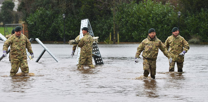
More than 3,000 military personnel have already joined flood relief efforts, and 5,000 more are preparing to help flood-stricken communities. “We’ve got to treat it like any other national security issue” Labour leader Ed Miliband said, describing the floods and climate change in general as a “national security issue” for the UK.
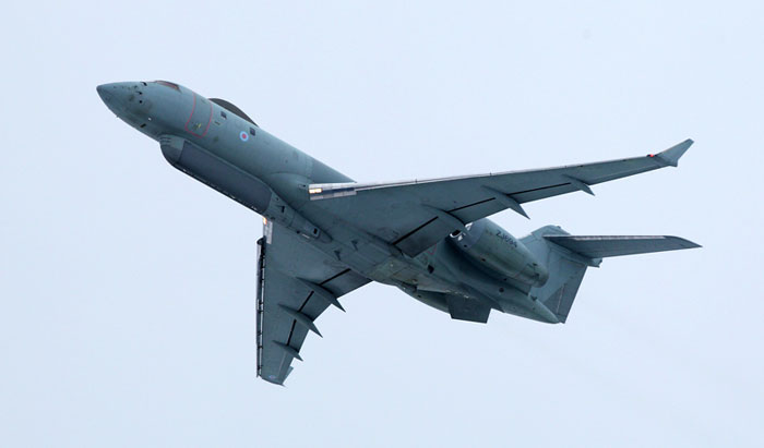
While soldiers creating sandbag walls and flood defense are a regular view in the flood stricken areas, the RAF has provided additional support from above, committing surveillance aircraft to provide authorities a unique picture of the situation on the ground.
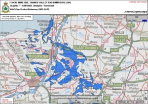
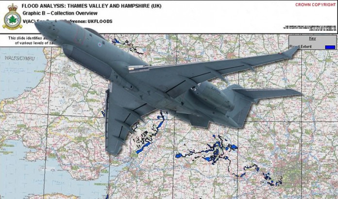
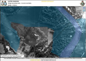
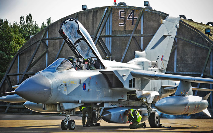
Two of the assets employed include surveillance patrols Sentinel R1 employing synthetic aperture radar (SAR) clearly indicating the wet and flooded areas over wide areas of land. With mapping provided the Sentinel, the RAF could deploy Tornado strike fighters carrying RAPTOR electro-optical reconnaissance pods, to bring visual reconnaissance from the affected areas. The combination of wide area surveillance and reconnaissance delivered by fast jets could process a situational picture of the wide area affected by the storm and floods, enabling authorities to focus on the worst affected areas.
By using the imagery gathered by both systems, civilian authorities will be able to compare the current flooding in the Thames Valley to how the same area was affected during a similar devastating period of flooding in 1947 which was caused by melting snow and extended periods of heavy rain. Being able to draw comparisons may help to indicate what areas are most likely to be affected next and help the civilian authorities to make informed decisions about where best to target their efforts.
“The Sentinel has long-range capabilities which enable highly trained Airborne Image Analysts onboard to capture imagery of large parts of the flooded areas.” Squadron Leader Victoria Fulton, Chief of Staff 5 (Army Co-operation) Squadron saID, “It is hoped that this key information will greatly assist the civilian authorities when determining where best to focus their efforts.”
The Tornado aircraft and RAPTOR has been used in many military operations and is currently in use over Afghanistan. It was selected for this task as it can rapidly scan and capture a huge area of interest in just one sortie – in this case areas in need of flood relief work.
“The sortie launched today demonstrates the versatility of both the [Tornado] aircraft and its reconnaissance systems and of the men and women who support those operations.” Wing Commander Neil Tomlin, Acting Station Commander said, “It is hoped that the imagery provided by our RAPTOR reconnaissance system will provide valuable assistance in supporting the flood relief efforts currently under way in the South of England.”
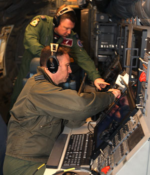
No 5(Army Cooperation) Squadron operates the Advanced Stand Of Radar (ASTOR) radar surveillance system, and comprises 5 Sentinel R1 aircraft and 8 Ground Stations. The concept of the ASTOR system is to provide a highly effective 24-hour surveillance and target acquisition capability. It delivers wide area, all-weather, tactical, theatre and national surveillance information in near real time. At its heart is a dual mode Synthetic Aperture/Moving Target Indicator (SAR/MTI) radar. The SAR provides high-resolution images and the MTI monitors hostile forces – their quantity, direction and speed. The imagery can be exploited both on board the aircraft and on the ground, is passed to Ground Stations at both theatre and tactical level. By operating at high altitude and considerable stand-off distances, the radar platform is able to remain over safe territory while providing an excellent ‘look-down’ angle of the target area.
