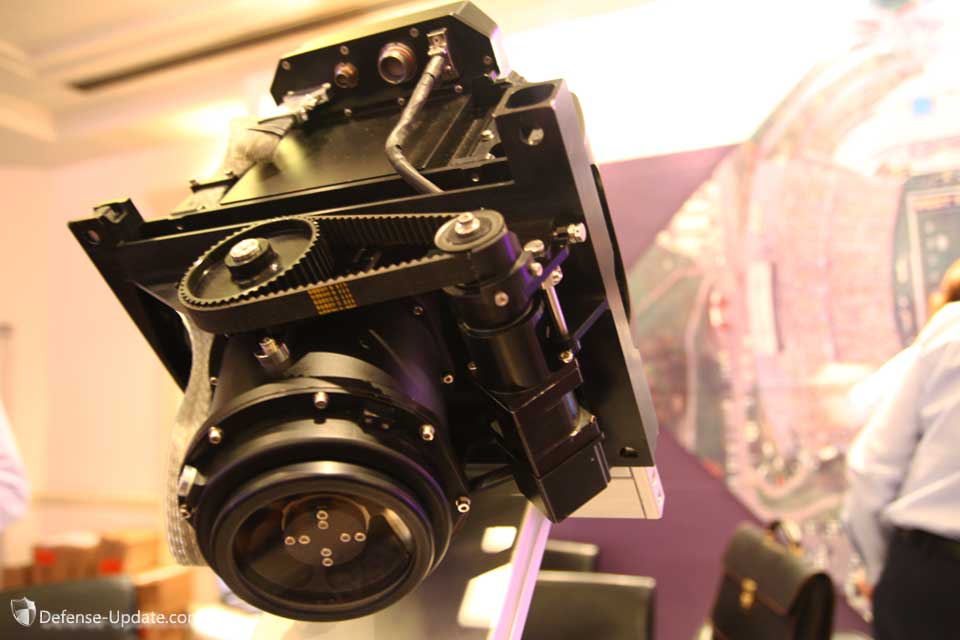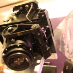
MIST, an advanced EO payload designed for mapping and wide area aerial surveillance was displayed for the first time today at the AUVSI Israel event in Tel Aviv. A military version of the camera was designed for unmanned aerial systems and has entered operational service in 2006, just in time for the Second Lebanon War. It has since proved itself in continuous operation over thousands of hours on a number of UAV systems.
MIST provides a compact and effective mapping and persistent surveillance payload that can support elements at the tactical echelon. The developer, Visionmap Ltd. established in 2004, introduced a compact payload that replaced a 40kg heavy mapping camera with a system weighing less than 11kg, that offers faster area coverage, providing exceptional quality and details from both low and high altitudes. The MIST payload is designed to provide both mapping and wide area surveillance products on a single mission. It employs sophisticated optical and EO digital imaging techniques. For this development Visionmap won the Israel Ministry of defense awarded the prestigious Israel Defense Award.
Employed on a number of UAS, including Hermes 450 and Heron, the MIST can operate at altitudes of 3,000 to 25,000 ft. The payload uses a 300 mm camera equipped with innovative scanning mirror assembly that compensates for movement, contributing to obtaining sharper details and faster scanning without the need heavy and for complex gimbals and stabilization techniques. The payload has an integral GPS and automatic geo-referencing system generating providing automatic 3D imaging and pixel-based sub-metric location accuracy. The mission can be stored on a 1TB digital disk that contains highly detailed images of hundreds of square kilometers.
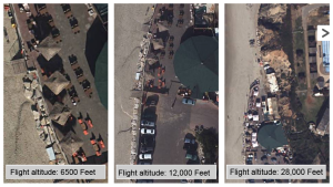
For example, operating at an altitude of 15,000 ft., MIST cover a strip several kilometers long in less than a second, processing hundreds of images at a rate of 80 megapixel per second, with 15 cm resolution. On a single mission the drone can cover an area thousands square kilometer large, producing detailed images for photogrammetric and stereo imagery from vertical or oblique angles, generating an image bank for persistent surveillance mission.
The MIST system comprises a compact and an autonomous airborne payload and ground segment, designed with intuitive planning application, debriefing module and automatic image processing producing standard output formats.
Visionmap has been offering the A3, a commercial application of its unique camera technology for several years. According to the company, in a typical mapping project, A3 cut at least 50 percent of the acquisition time and 50-75 percent of the processing time, compared to commonly available systems.

