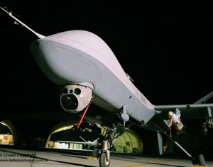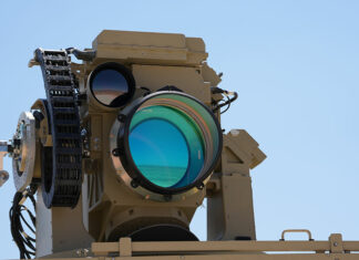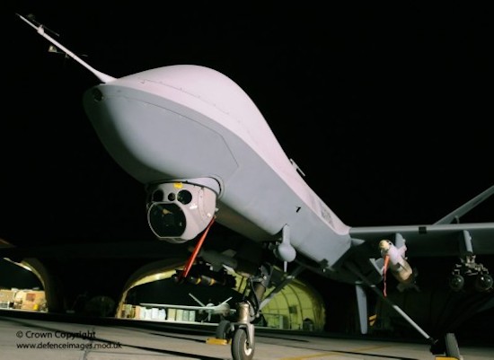
The Raytheon Company and General Atomics have integrated an advanced targeting capability into the U.S. Army’s Common Sensor Payload (CSP) airborne intelligence, surveillance and reconnaissance targeting system, (also known as MTS-B), enabling mission commanders to directly utilize an airborne tactical sensor’s geo-location data for real-time targeting of ‘J Class’ coordinate-seeking weapons. (a.k.a JDAM, or SDB). Subscribe for more insight
The new sensor comprises the high MTS-B definition sensor imagery and integrates a new, multi-color diode-pumped laser produced by General Atomics Aeronautical, an accurate range receiver, improved precision inertial sensors, advanced geo-positioning algorithms, precise internal/external event timing and rigorous error propagation to generate real-time targeting information.
“Our Direct Geo-Positioning Metric Sensor technology provides a major leap in capability to the warfighter with direct, real-time targeting and fire control of coordinate-seeking weapons,” said Andy Bonnot, director of Surveillance and Targeting Systems in Raytheon’s Space and Airborne Systems business.
In October 2013, Raytheon and General Atomics Aeronautical Systems collaborated to complete development and fly the CSP High Definition and Target Location Accuracy sensor, the industry’s first demonstration of a sensor that meets Department of Defense/National Geospatial-Intelligence Agency (NGA) requirements for target location and error knowledge.
Previously, target coordinates and imagery from an airborne tactical sensor had to undergo a remote and time-consuming image registration process () to meet Department of Defense/National Geospatial-Intelligence (NGA) Agency coordinate-seeking weapons delivery requirements for real-time targeting. Now, target coordinates can be transferred directly in real time from the CSP sensor to the weapon, significantly reducing the delivery timeline while increasing accuracy.
The CSP High Definition and Target Location Accuracy sensor is fully compliant with DoD and NGA specific requirements for a Direct Geo-Positioning Metric Sensor and marks the first time the capability has been integrated into a single airborne tactical package and flown.

