Home Tags Mapping

Tag: mapping

Dancing Parrots – Robot Air-Show

The showstopper at the 2013 Paris Air Show is definitely Russian Su-35S performing the daily combat aerobatic display flying breathtaking stunts streaking through the...

Visionmap Unveils a Wide-Area Surveillance & Mapping Payload at AUVSI-Israel

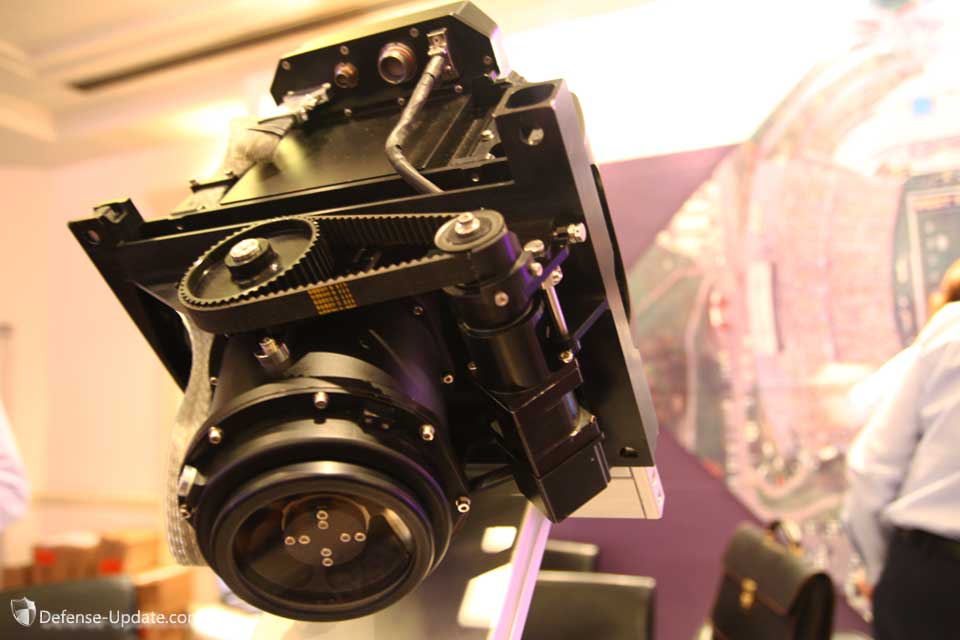
VisionMap Mist
MIST, an advanced EO payload designed for mapping and wide area aerial surveillance was displayed for the first time today at the AUVSI Israel event in Tel Aviv. A military version of the camera was designed for unmanned aerial systems and has entered operational service in 2006, just in time for the Second Lebanon War. It has since proved itself in continuous operation over thousands of hours on a number of UAV systems.

Terrain modeling and tactical decision support systems

Most of the current Low Intensity Conflict (LIC) operations between the Palestinians and Israelis over the occupied territories in the Gaza Strip and West...

Terrain Mapping Precision Targeting System

Terrain Mapping guidance is used primarily for mid-course navigation, in most applications it is used with GPS and inertial navigation backup to provide autonomous,...

Current News