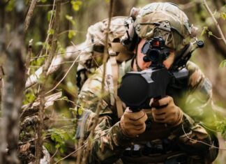
A new system, soon to be fielded with U.S. Army engineers teams and platoons is the ENFIRE Instrument Set, Reconnaissance and Surveying system, developed by Northrop Grumman. The system is designed as a map-based reporting system, supporting the processing of terrain reconnaissance – currently done sporadically through a complex and laborious manual process reserved only to few skilled professionals.
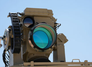
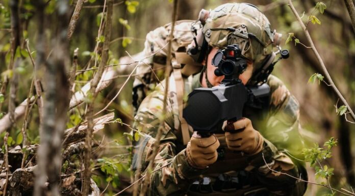
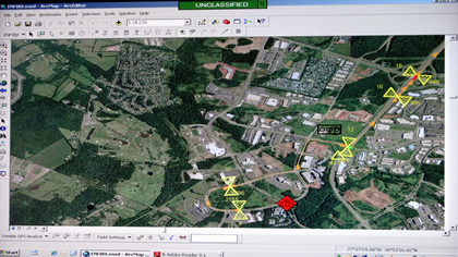
Current procedures require soldiers to be physically at a target to take measurements of road curves, bridges, minefields or buildings. ENFIRE, designed under the guidelines of the Army’s ‘Every Soldier is a Sensor’ (ES2) initiative, enables engineering reports to be filed by infantry squads equipped for the job. The system employs a short distance laser rangefinder to take measurements from remote locations. A long range Laser Range-Finder (LRF) is used to take bearing and distance from the users location at a range of up to six kilometers. Used in conjunction with the Defense Advanced GPS Receiver (DAGR) and ArcMap geographical database software, ENFIRE users are able to create overlays of bridges, roads, hasty minefields and locations of IEDs plotted on digital maps as they collect the information related to these targets. Digital images and short video files can also be attached to the report for more details.


