 For hundreds of years, maps and cartography provided critical means for command and decision support. Their value was derived from the accuracy, timeliness and relevance of their data sets. Maps are still valuable command tools, but today their production is faster, the data is much more accurate and most important – when embedded into digital processing and presentation environment, they provide a common denominator for command and control. With new technology geographical information systems (GIS) are used to process sensor information; generate spatial presentation of intelligence products.
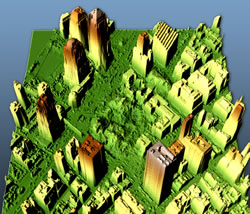
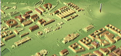
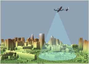
Geospatial products are also used for presentation of terrain measurement data, as input from SAR, LIDAR and LADAR sensors is processed and represented as realistic 3D models, used for operational planning. Rectified over a common grid, ISR data can automatically update a situational picture, or further process it with satellite or aerial imagery presenting realistic 3D models of an area, including updated man-made features. Such models are used for mission planning and rehearsal, briefing on a synthetic “sand-box”, spatial orientation and training.
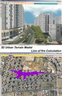 Geo-registration is an essential capability for advanced image processing. Images are referenced to a common geographical grid enabling detailed comparison between different views of the same area. In the past, such referencing was done in a manual, a time consuming process prone to human errors. Today, geo-registration automation is done in a real-time process, performed on still images, including SAR and GMTI, and most recently on live video. This capability enables endless ways to manipulate the images, by merging them into wide-area mosaics, morphing them to suite the proportions of 3D models, correcting optical and perspective distortions etc. Accurately registered into a common grid, images are fused into common views, providing stereoscopic views (depicting height and depth of objects) and true, dynamic 3D computer generated models and “fly through”, which can be generated in few hours, rather than weeks, offering realistic views of an object from different angles.
Additional parts of this article:

