Home Tags GPS

Tag: GPS

Personal Positioning System

Draper developed the Personal Positioning System (PPS) in response to the US Army requirement for Personal Navigation System, required to provide autonomous, uninterrupted position,...

U-ADD Universal Aerial Delivery Dispenser

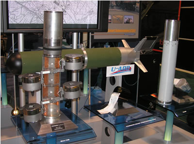
A mission configurable payload Universal Aerial Delivery Dispenser (U-ADD) is developed by Textron Systems to be used for aircraft and UAV precision delivery of...

GPS III Program

Among the advanced GPS capabilities developed by Boeing for the U.S.A.F Navstar GPS Wing the military, are 12 GPS Block IIF satellites , currently...

MicroFly

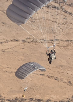
The MicroFly can be configured with any military ram air parachute to accompany inserting HALO (High Altitude Low Opening) or HAHO (High Altitude High...

US Marines’s Forward Observers Gear up For Excalibur

The US Marine Corps plans to field hand held Target Location, Designation and Hand-off Systems (TLDHS) to equip artillery forward observers with entry device...

Targeting at the pixel

Start < Page 7 of 11 > Unlike laser guided munitions, which share a mutual electro-optical signal to coordinate the sensor and shooter, GPS guided weapons require...

GPS Guided Cargo Systems

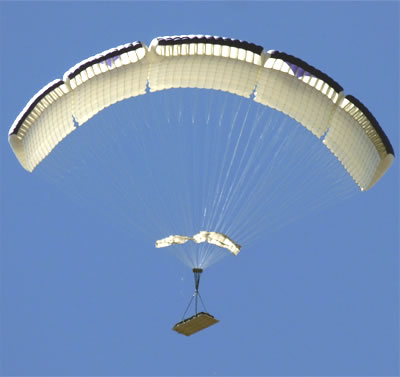
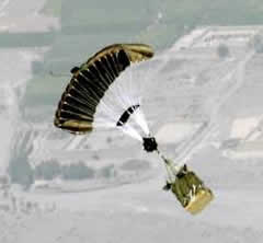
Start < Page 3 of 6 > In recent years, GPS-guided ram-air parachutes render more flexibility to load drops. Since 2004, the US Marine Corps have been...

Profiling the Wind

Start < Page 2 of 6 > The largest error component for release point calculation is the wind estimate. Former practice used to rely on wind models...

Precision Aerial Delivery

Precision aerial delivery has also matured in recent years, with the availability of lightweight GPS navigation and flight control systems. Altair Aerospace introduced at...

TACNAV independent Vehicular navigation system

KVH TACNAV is a tactical navigation system which augments GPS navigation systems with complimentary position references used on combat vehicles, such as odometer, electronic...

Target Geolocation

Start < Page 3 of 6 > Simple geolocation (currently supporting 90 and 30 meter positioning accuracy) could be sufficient for general orientation but will not...

Precision Strike Weapons

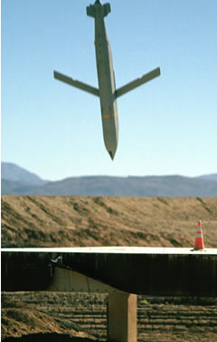
Start < Page 1 of 9 > Over the past decade, modern air forces are transforming their operational concepts from platform and weapons dependent to...

Terrain Mapping Precision Targeting System

Terrain Mapping guidance is used primarily for mid-course navigation, in most applications it is used with GPS and inertial navigation backup to provide autonomous,...

Kill Assist Adverse Weather Targeting System (KAATS)

Another SAR aided guidance system developed by Boeing for the US Navy, uses target cueing based on Synthetic Aperture Radar/Ground Moving Target Indication (SAR/GMTI)...

Current News