Home Tags Navigation

Tag: Navigation

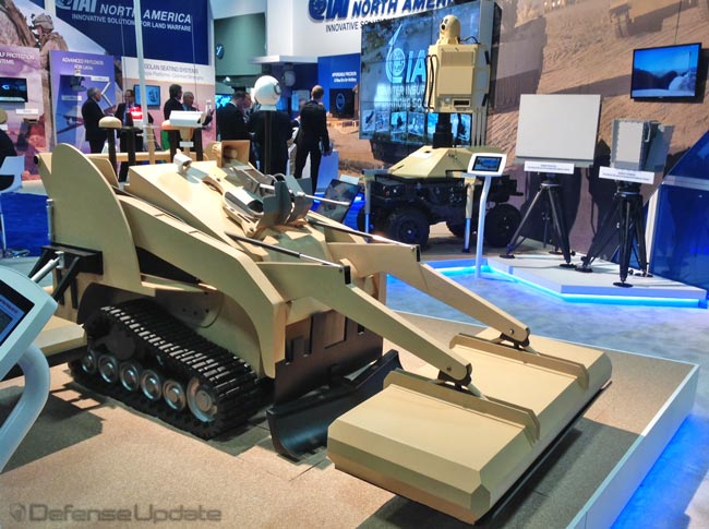
IAI Develops an Advanced Counter-Mine & IED UGV

  Israel Aerospace Industries' (IAI) Ramta's Division is developing an unmanned ground penetrating radar sensor designed to detect deep buried and surface-laid mines and Improvised...

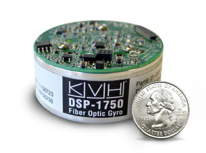
Maxing IMU Performance into a Small Form Factor

KVH is introducing the new Series 1750 Inertial measurement Unit (IMU) at Eurosatory. The module weighs less than 1.4 lbs. (<0.6 kg). The compact package and mounting features enable easy drop-in replacement to both enhance performance and reduce cost in retrofit applications.

Autonomous Vehicle Navigation Systems (ANS) Matured

Following over 2,000 lab and field tests the Autonomous Navigation System (ANS) under development at General Dynamics Robotic Systems for the U.S. Army has...

Autonomous Navigation System

Turning Combat Vehicles into Autonomous Mobile Platforms General Dynamics Robotics Systems' Autonomous Navigation System (ANS) is one of the basic components to be integrated in...

Imaging and C2 Systems for the Warfighter – at Soldiertech 2007

The latest display systems introduced for modern soldier systems incorporate miniature 'near-eye' transparent viewers and hand-held displays, offering wide field of view, efficient visibility...

Bae Systems Demonstrates Passive Geo-location Technology

BAE Systems has successfully demonstrated a passive geo-location capability that enables aircraft to quickly pinpoint the location of enemy emitters positions (radars, communications equipment...

TACNAV independent Vehicular navigation system

KVH TACNAV is a tactical navigation system which augments GPS navigation systems with complimentary position references used on combat vehicles, such as odometer, electronic...

Target Geolocation

Start < Page 3 of 6 > Simple geolocation (currently supporting 90 and 30 meter positioning accuracy) could be sufficient for general orientation but will not...

Terrain Mapping Precision Targeting System

Terrain Mapping guidance is used primarily for mid-course navigation, in most applications it is used with GPS and inertial navigation backup to provide autonomous,...

GPS Anti-Jam Receiver (AJR)

The Anti-jam GPS Receiver (AGR) designed by Raytheon supports the Tactical Tomahawk missile program. The system uses PPS (Y-code) GPS signals, operating on both...

Pseudolite – GPS Anti-Jamming Systems

Due to their cost and operating and design complexities, GPS/AJ receivers will not be deployed everywhere, but only in specific applications. To protect those...

Current News